Since I spend approximately 75% of my life browsing Google Maps I’m starting a collection of images I think are interesting enough to share. This isn’t the first project using Google as the medium and I am largely inspired by Doug Rickard’s A New American Picture project, though I do hold opinions about Rickard “recreating” these Google images with his own camera. But that’s a different conversation.
I plan on using street view and overhead maps to note upon landscape evolution, far corners of the world (which I do believe is a globe), and local interesting scenes.
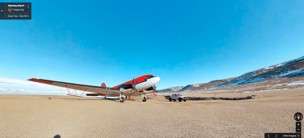
Here’s my first post in this project. The Qaanaaq Airport in northwestern Greenland. Qaanaaq has, according to Wikipedia, a population of 656 people. The local population was forcibly relocated to Qaanaaq from the areas from Pituffik and Dundras to the north in 1953 when the US expanded their military activity in the area during the Cold War.
Read more about the High Arctic Relocation of the 19th and 20th centuries
